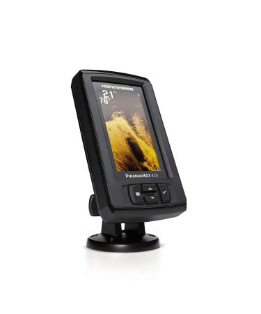
Get an added angling advantage with LakeMaster Plus mapping, which adds high-quality aerial photography to its unrivaled accuracy and detail, easy-to-read contours, highlighted depth ranges, and scrollable lake lists. LakeMaster digital maps provide the most detailed, high-definition collection of freshwater mapping in the United States, with unmatched depth contours between 1-3 feet (in high definition) or 3-5 feet (standard definition). This LakeMaster Plus Great Lakes Edition, Version 2 boasts more than 380 lake maps in high definition and over 1,540 total lakes from MI, IN, and OH, with over 140 lakes added since the prior version. Version 2 includes updated shallow-water areas for Lake Michigan and parts of Lake Superior, full coverage of Lake Superior, all of Lake Huron (including Georgian Bay), Beaver Island on Michigan in HD, a new HD survey of Lake St Clair (including Canadian side), and more. LakeMaster Plus enables you to view an aerial image overlay on high-definition waters to see the entry and exits of creek channels, to see how far a reef or weed line extends, and to pick out shallow-water rock piles, steep drop-offs, and other features. Easy-to-see shading highlights shallow-water areas within an adjustable range up to 30 feet, and depth contours and shorelines can be synchronized with the actual water levels of lakes, reservoirs, and rivers. LakeMaster digital maps can be used with Minn Kota i-Pilot Link (sold separately), allowing you to follow a selected depth contour line to deliver precise, automatic boat control. Collected by Humminbird's own team of GIS analyst cartographers, LakeMaster high-definition maps are created from on-the-water surveys using hundreds of thousands of depth soundings, plus state-of-the-art GPS and sonar technologies. LakeMaster Plus digital maps come on a Micro SD card (with included SD card adapter) that's compatible with all GPS-equipped HELIX, SOLIX, ONIX, and ION Series models and select 600-1100 Series models. Strictly intended for use in your Humminbird GPS unit, LakeMaster mapping cards are not PC compatible and map files could be corrupted if accessed on a computer.LakeMaster Plus digital maps come on a Micro SD card (with included SD card adapter) that's compatible with all GPS-equipped HELIX, SOLIX, ONIX, and ION Series models and select 600-1100 Series models. Easy-to-see shading highlights shallow-water areas within an adjustable range up to 30 feet, and depth contours and shorelines can be synchronized with the actual water levels of lakes, reservoirs, and rivers. LakeMaster Plus enables you to view an aerial image overlay on high-definition waters to see the entry and exits of creek channels, to see how far a reef or weed line extends, and to pick out shallow-water rock piles, steep drop-offs, and other features. This LakeMaster Plus Great Lakes Edition, Version 2 boasts more than 380 lake maps in high definition and over 1,540 total lakes from MI, IN, and OH, with over 140 lakes added since the prior version. Get an added angling advantage with LakeMaster Plus mapping, which adds high-quality aerial photography to its unrivaled accuracy and detail, easy-to-read contours, highlighted depth ranges, and scrollable lake lists.Are Batteries Included: No. Weight: 0.2 Pounds. Item Dimensions LxWxH: 8 x 6 x 1 inches. Sport: Fishing. Map Type: North America. Model Name: LakeMaster PLUS. Brand: Humminbird. Date First Available: January 9, 2018. Manufacturer: Humminbird. Department: unisex-adult. Whats in the box: Includes micro SD card with full size adapter and water resistant SD card carrying case. Color: Black. Other display features: Sports. Best Sellers Rank: #121,358 in Sports & Outdoors. Customer Reviews: 4.5 out of 5 stars 152 ratings 4.5 out of 5 stars. Item model number: 600015-7. : B078WXFGG5. Item Weight: 3.2 ounces. Product Dimensions: 8 x 6 x 1 inches.


![Stewart Freeze Dried Dog Treats Made in USA [Single Ingredient Puppy and Dog Training Treats - Grain Free Natural Dog Treats] Resealable Tub to Preserve Freshness](https://www.gosupps.com/media/catalog/product/cache/25/small_image/375x450/9df78eab33525d08d6e5fb8d27136e95/6/1/61gwbbixarl._ac_sl1500_.jpg)