

Clearance Room!

Regular Price: US$28.99
Special Price US$16.99
Regular Price: US$65.00
Special Price US$30.00
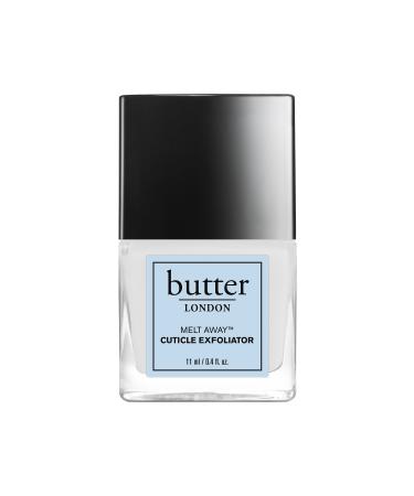
Butter LONDON Melt Away Cuticle Exfoliator
Regular Price: US$55.00
Special Price US$19.99

Regular Price: US$55.00
Special Price US$28.00
Regular Price: US$45.00
Special Price US$15.99
Regular Price: US$55.00
Special Price US$18.99
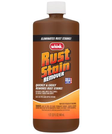
Whink 1232 Rust Stain Remover 32 Oz 32 Fl Oz (Pack of 1) Remover
Regular Price: US$69.99
Special Price US$59.99

GRAND SELECTION
Think of it and most probably we have it among our grand selection of products!
AMAZING PRICES
Get ready for the amazing and best Supps prices ever!
FIXED RATE DELIVERY
Get your order anywhere on this planet within 5-10 days with a fixed rate of $19.99 (no matter the size of your order)
